The wonderful world of nonprofits is, for me, a never-ending series of exhilarating challenges. I go to work every day and know I’m helping to make a difference. The best days are when I get to take field trips, and the best of those best days are spent in a tiny plane with our good friends at LightHawk.
We are very lucky to partner with LightHawk – they provide flights to environmental nonprofits thanks to the generosity of their pilots, who donate their time, resources, and their aircraft. Their mission is simple: We fly to save the Earth.
Usually when I’m trying to summarize what LightHawk does I reference the first image on their website – a wolf puppy. I am not exaggerating at all when I say I cannot think of a cooler assignment than transporting wolf puppies. Their scope of work goes beyond puppy transport, of course. They allow nonprofits like Sonoran Institute to see conservation projects from the air, granting a hugely expanded perspective to people like me. LightHawk is filling an important niche that isn’t usually front and center in conservation, but is still critical: people can’t help you if they don’t know what you’re doing.
In a lot of ways, that is the core task of my job. I specialize in figuring out how to communicate our mission to people in a way that will get them excited to do their bit for conservation. So when I was told I was going to fly in a tiny plane over the Santa Cruz River, I knew it was a great opportunity to see something that I can share with our supporters.
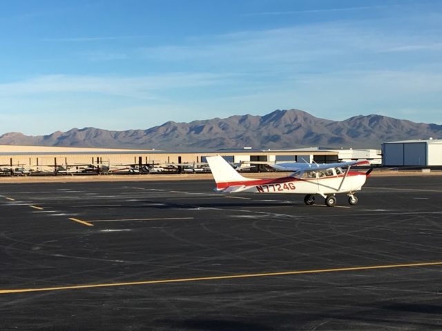
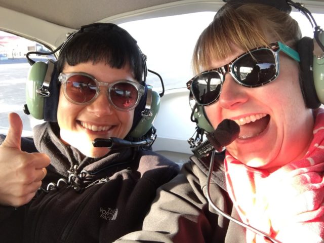
Together with Sarah, our Development Manager, one of our resident Santa Cruz River experts, Jason, and our incredibly-talented-at-flying-smoothly pilot Greg, we followed the Santa Cruz all the way down to the border. Starting at Ryan Airfield on the southwest edge of Tucson, Greg’s zippy Cessna C172 took off and shuttled us south. It only took about half an hour to reach Nogales, which is a city on both sides of the wall.
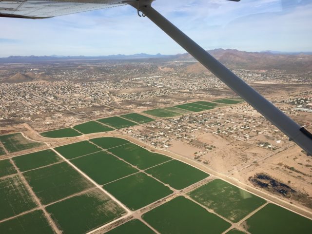
Once we arrived, we got an excellent bird’s-eye perspective of the new head-waters of the Upper Santa Cruz River – the international wastewater treatment plant in Nogales. Over 10 years ago, Sonoran Institute helped make the case for updating the plant because the water quality in the river had reached such a low point that trees along the river were dying in long stretches. That upgrade resulted in cleaner wastewater being released and sent up the river to restore riparian habitats and reverse the die off. That day in the plane, it was astounding to see actual flowing water in the river – it’s always been just a dry river bed to me. It also was helpful to see just how unremarkable the border is as a geographic landmark. The river just…keeps going without regard to international boundaries.
On the way back, I looked more at human activity than nature. Closer to the wall, palatial estates peppered the desert, surrounded by walls. These solitary homes gave way to clusters of houses along roads, growing in to sprawling suburbs. I wondered how old they all were. Tucson’s first civilizations sprouted alongside the Santa Cruz almost 4,000 years ago.
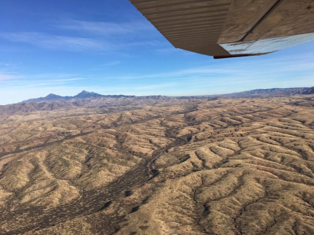
Water leaves traces in the desert that are not immediately apparent from the ground. All of the washes and channels and arroyos flow together to form startling patterns and webs. Zooming out to see it all from the sky really drove home the scale of our work. It isn’t just about Tucson, or Nogales, or Phoenix, or any one specific place. All of it is connected.
Everything in the desert is shaped by water, as much defined by its absence as the jungle is by its glut. LightHawk allowed me to gain a much wider perspective of Sonoran Institute’s work. I’m incredibly thankful to them and their pilots. Next time you find yourself in the sky, I highly recommend tracing the paths water has carved on your route, and perhaps you’ll get a better perspective too.
Blog Post By: Elise Christmon, Development Coordinator